|
| *****SWAAG_ID***** | 804 |
| Date Entered | 13/04/2014 |
| Updated on | 13/04/2014 |
| Recorded by | Tim Laurie |
| Category | Mining Related |
| Record Type | Mining |
| Site Access | Private |
| Record Date | 09/04/2014 |
| Location | Pastures below Fremington Edge |
| Civil Parish | Reeth |
| Brit. National Grid | |
| Altitude | 270m |
| Geology | Drift over Five Yard Limestone. |
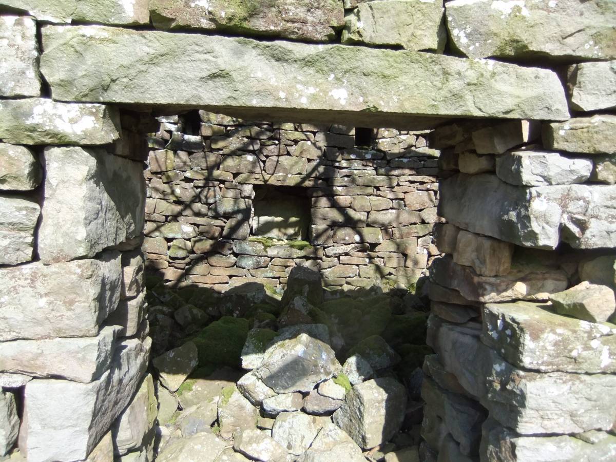
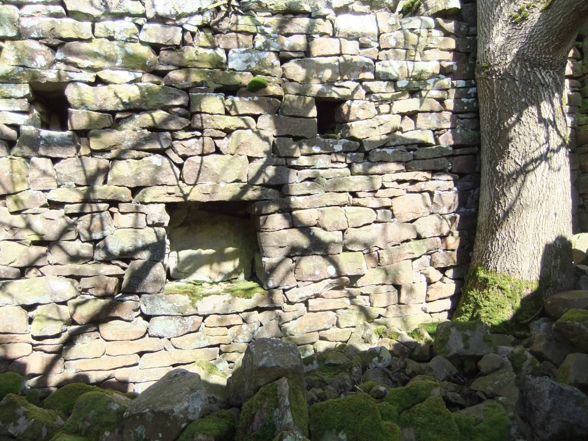
| Record Name | Images of Fremington 6: Mine shop close to the Fremington Mine Level opened during 1870 to access the Copperthwaite Vein at lower level. |
| Record Description | This picturesque ruined rectangular cottage was possibly used as a mess hut and workshop for the miners employed at the nearby Fremington Level (Dunham and Wilson 1985,BGS Geological Memoir: Geology of the North Pennine Orefield, Volume 2 Stainmore to Craven, Fig 25 Location 27) |
| Dimensions | See photographs. |
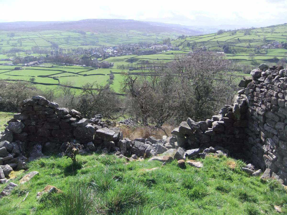
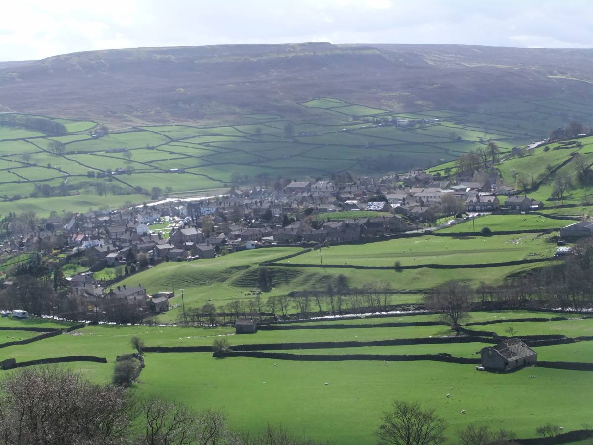
| Additional Notes | An ash tree grows in the corner of this single roomed building now sans roof, sans window and sans door. No hearth or chimney was visible. The building enjoys one of the best views in Swaledale and the whole of Reeth looks up to it! |
| Image 1 ID | 5381 Click image to enlarge |
| Image 1 Description | The mine shop. | 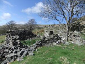 |
| Image 2 ID | 5382 Click image to enlarge |
| Image 2 Description | | 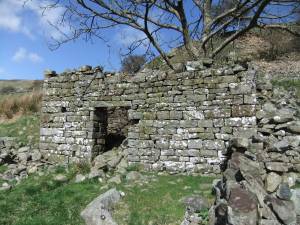 |
| Image 3 ID | 5383 Click image to enlarge |
| Image 3 Description | |  |
| Image 4 ID | 5384 Click image to enlarge |
| Image 4 Description | | 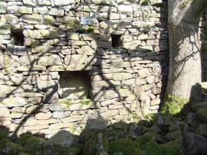 |
| Image 5 ID | 5385 Click image to enlarge |
| Image 5 Description | Swaledale seen over the garden wall. | 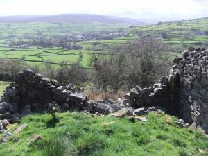 |
| Image 6 ID | 5386 Click image to enlarge |
| Image 6 Description | Reeth far below, from the front door of the mine shop. |  |